SWC
TODO List for SWC
Bugs
- Site Address and coordinates mismatch when GeoCoder Api Call Fails. SFR-31
- Dates for Simulation is not working correctly. When I press run simulation it looks like it changes the start date.
Improvements
- Get Swagger working on SSA. SAA-6
- Rework APIFetch to accept onFail callback function SFR-37
- Modify Transparency of the map overlays for better readability SFR-41
- Implement Authentication and Authorization SFR-22
- Only call Location API when the location text has changed. SFR-70
- Evaporation and Rainfall layers should be check boxes not radios SFR-72
- Change icons for Evaporation and Rainfall to be distinct from each other SFR-73
- Move map controls (i.e. layers) into the right-side action bar instead of modal popup SFR-74
Maintenance
- Full Test of SWC. use Banklick for validation and verification SAA-7SFR-80
- Review code for Table and Blobs. SAA-3
- Code Cleanup SFR-25
- Keep track of code logic and readability by commenting all files SFR-30
- Remove unused packages and libs from Package.json SFR-26
- Find and document potentially unused code SFR-28
- More Linting Warnings SFR-79
Documentation
Things of note not in Tickets. Mostly from Melissa testing SWC
- Some kind of waiting symbol on soil page while waiting for the layer to load. Can we make it faster?
- Lat long didn't really want to work. I had the lat long from the Banklick run for soil maps. I had to get an address off google. I picked a church close to the lat long.
- Is there something wrong with soil maps The shapes are all coming back gray.
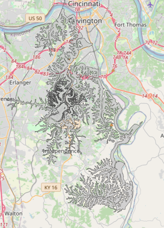
- site and soil map could be the same zoom level
- Soil map could have the site location on the map
- Zoom Level is too far out on every page. I should not be seeing Northern KY, Ohio, and indiana when I am looking at Erlanger. It is annoying to keep having to zoom in. Especially on Land cover.
- Somewhere on weather station we need to know red is selected and blue is unselected. If there are only 2 stations it is hard to tell which one is selected.
- The rainfall time is still only 1 calender year max this is a known issue but it is different from EPA where it is from 1990 - 2019
- No way to tell that a simulation is running.