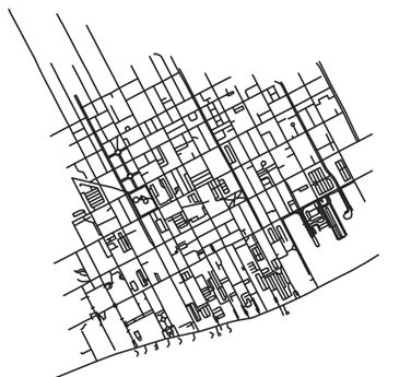
Obtain polygons from road centerlines
Getting road centerlines
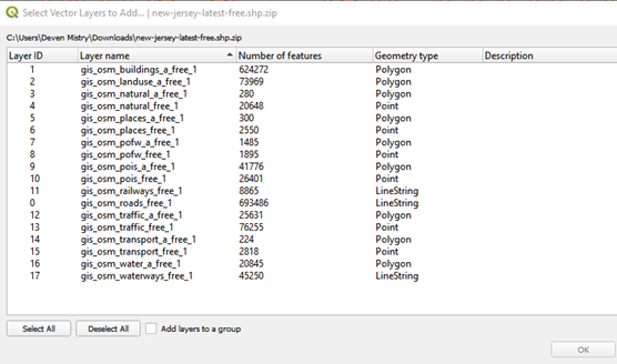
Download the shape files for the state of New Jersey from Geofabrik Download Server. This is a German website offering free data from OSM. They even offer paid services, check the email thread Need poygon data for Abescon island, NJ, USA, for more details. The thread contains a small discussion on obtaining polygon data for the Absecon Island.
Using data from Geofabrik server
- Open QGIS and then Layer → Add Vector Layer and then select the downloaded zip file
- Click on Add
- Select the layer/layers you wish to add (In this case choose
osm_roads_free_1)
Chipping the road centerlines
The added vector layer contains the road centerlines for the entire state of New Jersey. You will need to choose your region of interest (in this case, the bounding box provided by Dick).
- Select the road centerlines layer from the bottom left Layers panel
- Right click on the layer
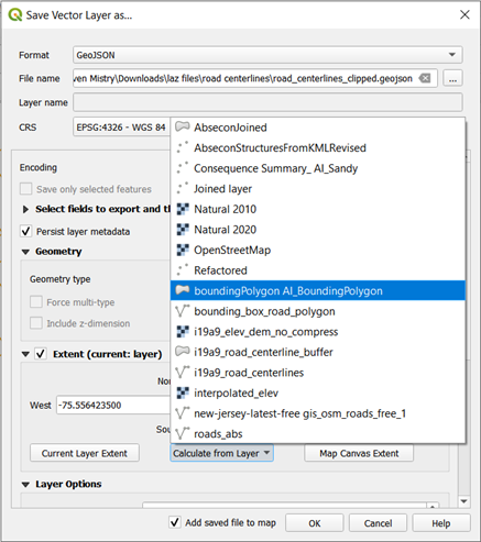
Click Export
- Give the file a name
- Note: Choose the CRS properly, else it poses a problem while creating the road polygons
- Set the CRS as
EPSG: 3857 - Check the Add saved file to the map
- Click on OK
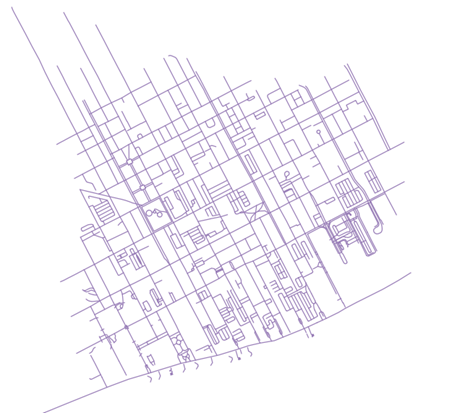
Creating road polygons using Buffer technique
Once you have the chipped tile of interest, you now need to create polygons from those centerlines.
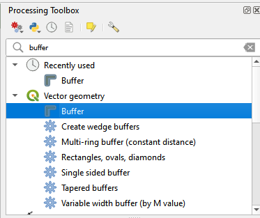
- In the Processing Toolbox, search for Buffer
- For the input layer, choose the chipped road centerline
- And adjust the distance parameter accordingly
- Average width of a street is around 20 ft (10 ft on each side), which comes around 3m
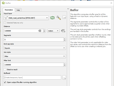
- Give a name to save the file
- Click on Run
- You have successfully created road polygons for your tile