Chama Update 8-28-2023
Anne has made some changes to the project Last week.
Rainfall
We looked at the OneNote research activity pages and would like to proceed with 5 minute data instead of what is available in the stormwater calculator (hourly). We found such data on the Kentucky ASOS station network that is accessible at this link: https://mesonet.agron.iastate.edu/request/download.phtml?network=KY_ASOS
IEM :: Download ASOS/AWOS/METAR Data Iowa Environmental Mesonet of Iowa State University mesonet.agron.iastate.edu
We’d like for GQC to: use 25 years of 5 minute ASOS data from the CVG station (see screenshot below). downloaded and format correctly for SWMM
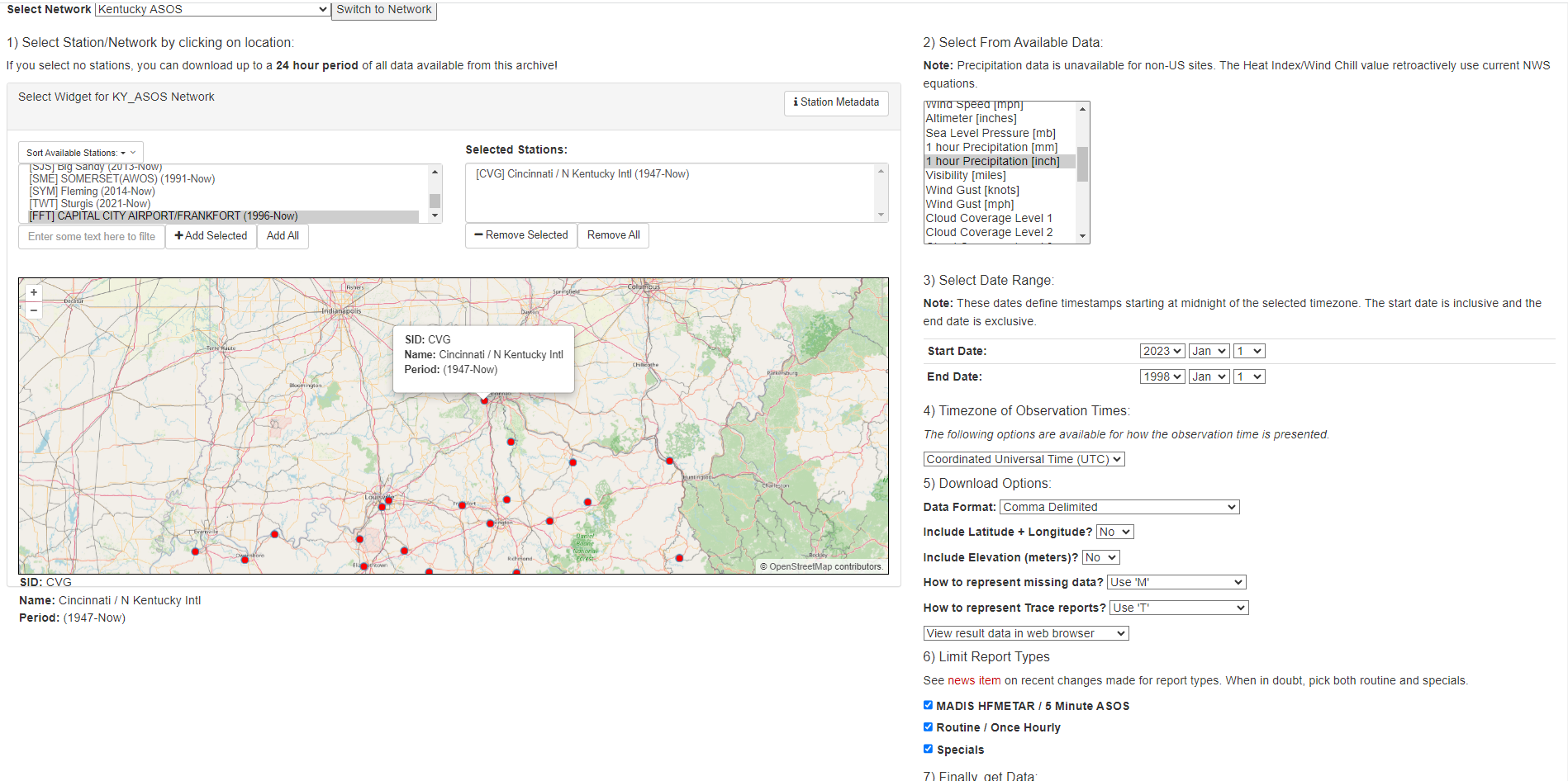
*Note, if you haven’t used mesonet data before it is important to realize that a cumulative value is provided at the 54 minute mark of each hour and should be deleted for the purposes of the SWMM rainfall time series. use Netstorm to disaggregate it into individual events (please use a 24 hour antecedent dry weather criteria for separating events). use this rain gage for all the subcatchments. Data is reported as inches from the rain gage so we are fine to do a volume approach vs. intensity
Plume
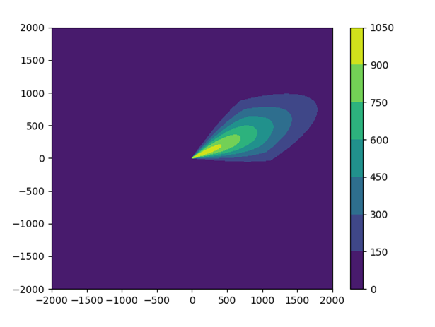
Caleb has provided the attached code for a parameterized approach instead of a physics based gaussian plume approach to adding contamination as a plume. Could GQC please test out linking it to a SWMM .inp and let us know if it would work for changing subcatchment buildup on the next call? If so, we are leaning towards using this method instead of the built in plume generator in CHAMA.
Other Notes
- We are still in the process of digesting the process flow research activity notes, but a few things all EPAers agreed upon was:
- We do not want to integrate QGIS or user interface at this point
- We prefer to utilize an hdf5 file format as opposed to .csv and SQLlite schema
- EPA would like to discuss a naming structure for the .inp files soon – please let us know how you are currently naming them. (our hope is a lot of the key plume and rainfall identifying info can be in the .inp file name)
- For our next meeting could GQC to propose what variables will be saved to hdf5 file and their proposed data dictionary? Could GQC also add the SQLlite table maps they showed from the read the docs to the OneNote so that EPAers can study and start thinking about the hdf5 file before the next meeting?